Explore Kyoto
A free interactive map of Kyoto's temples, gardens and neighbourhoods: 314 places, from Fushimi Inari to coffee houses that opened in the 1930s.
Events on these dates.
Filters
314 places
Saved events
Add all saved events to calendarNo saved events yet. Use the heart on any event to keep it here.
No events in these dates
Try other dates or clear the event filters.
Saved places
Open saved places in Google MapsNo saved places yet. Use the heart on any place to keep it here.
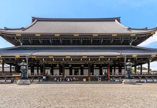
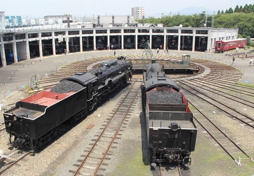
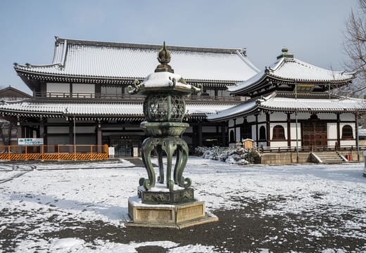
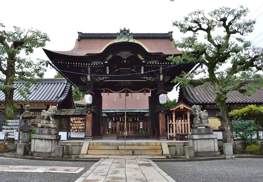
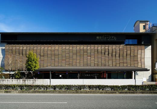
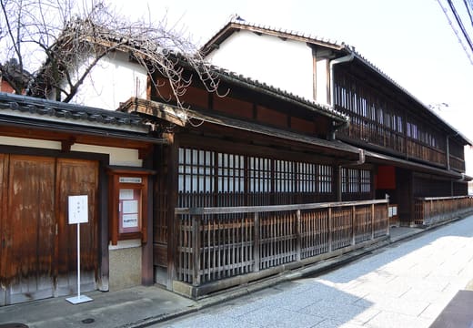
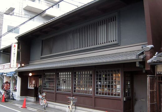
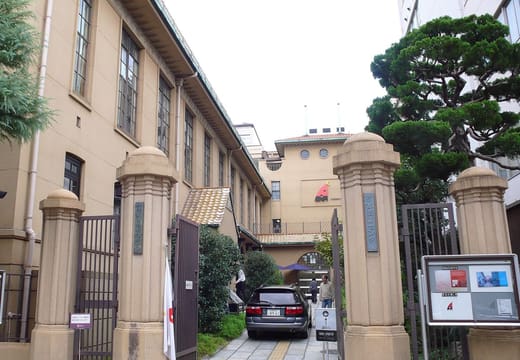

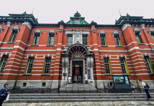
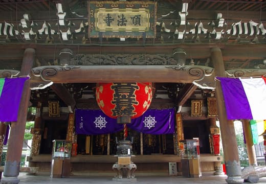
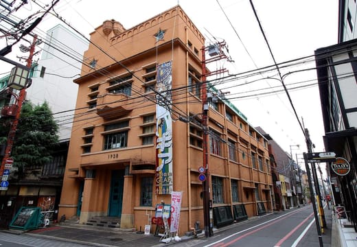

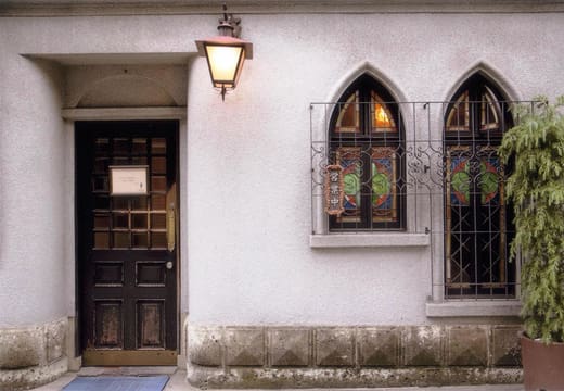
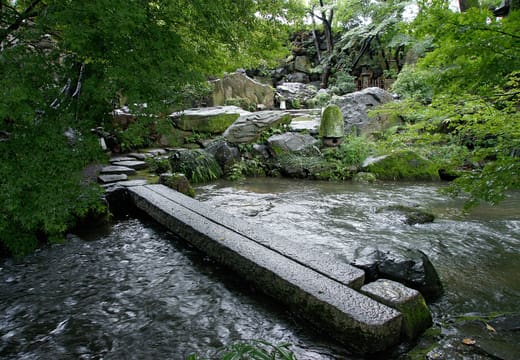
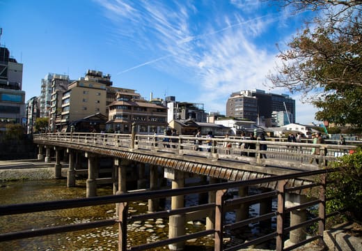
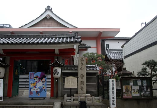
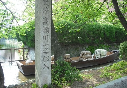
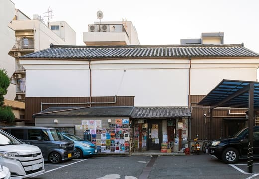

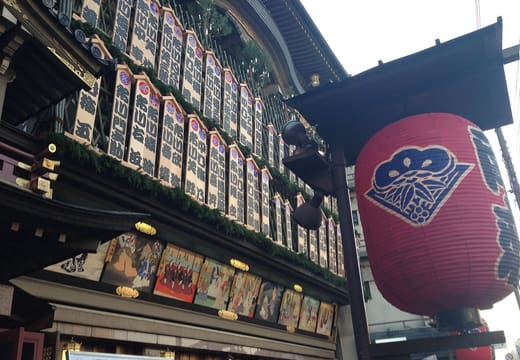
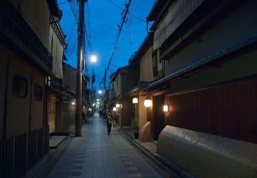
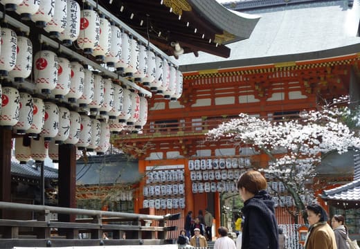
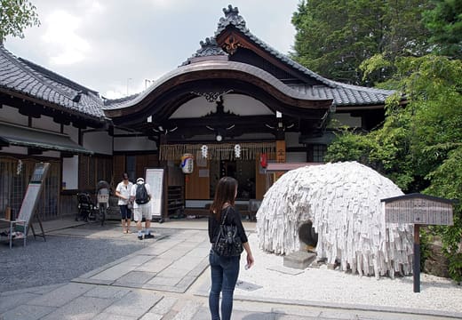
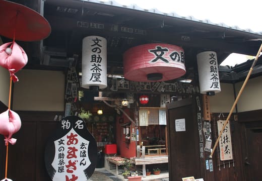
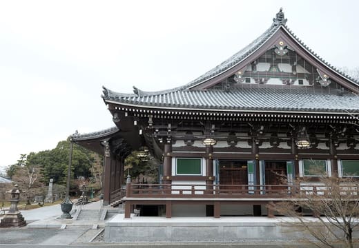
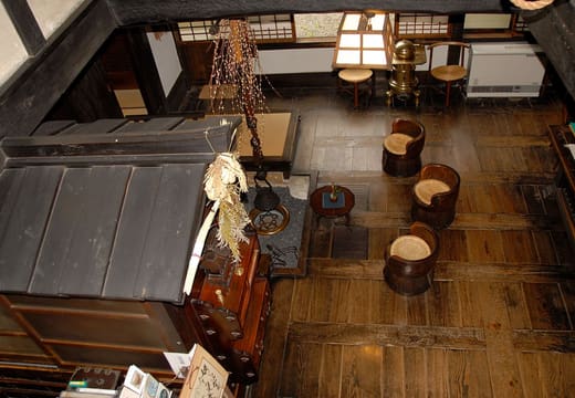
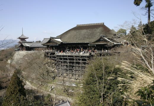
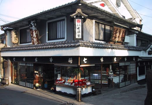
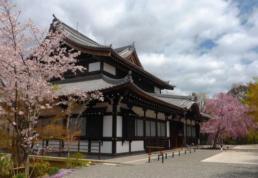
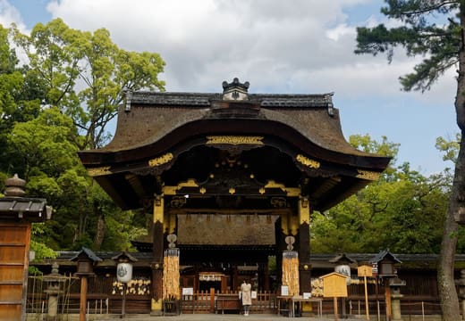
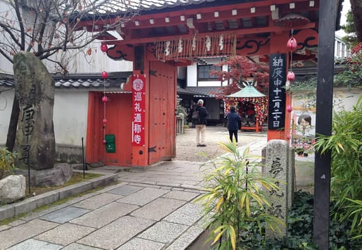
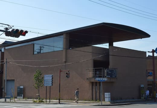
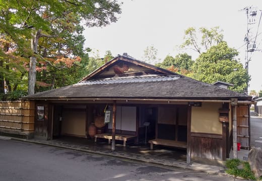
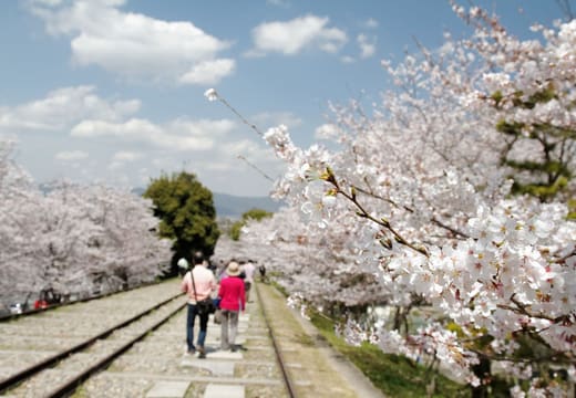
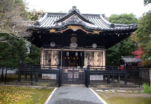
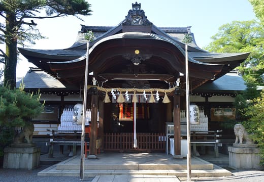
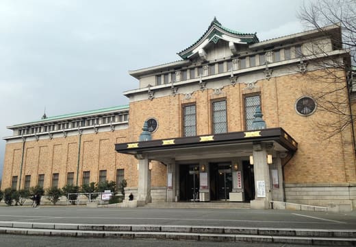
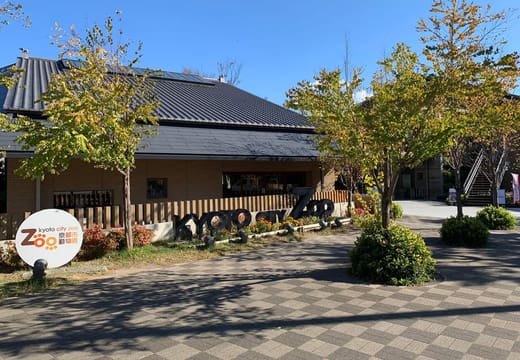
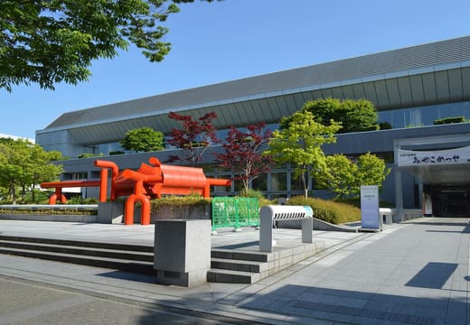
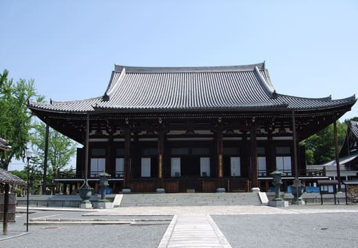
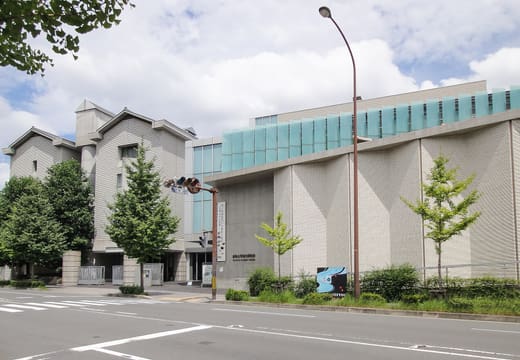
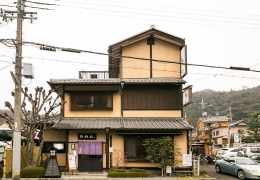
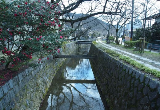
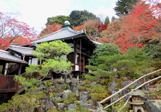
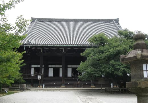
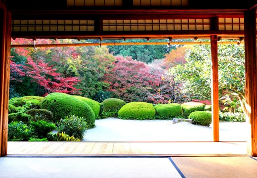
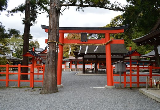
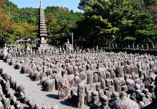
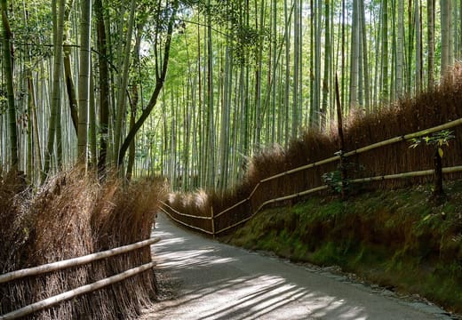
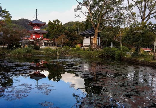
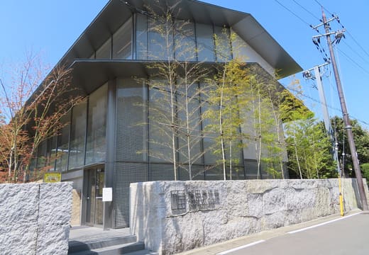
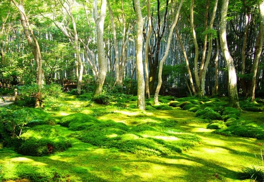
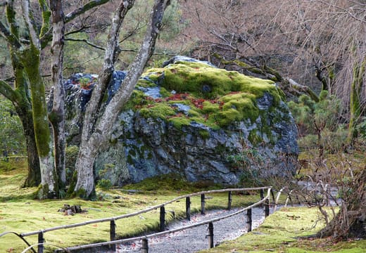
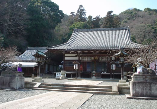

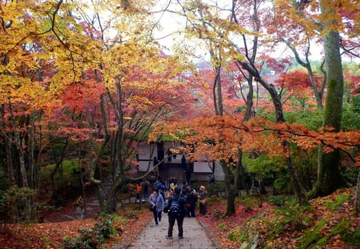
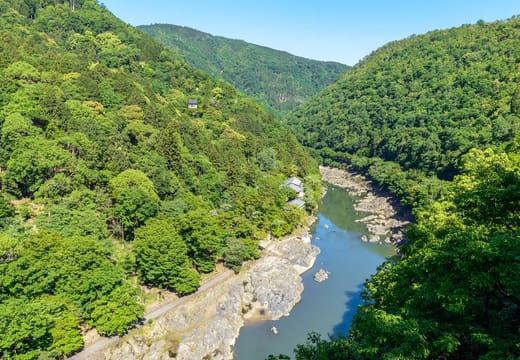
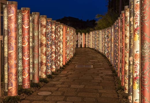
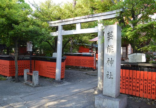
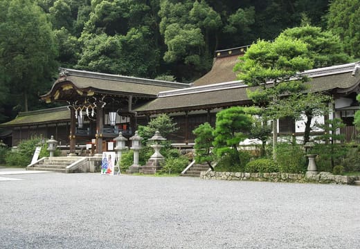
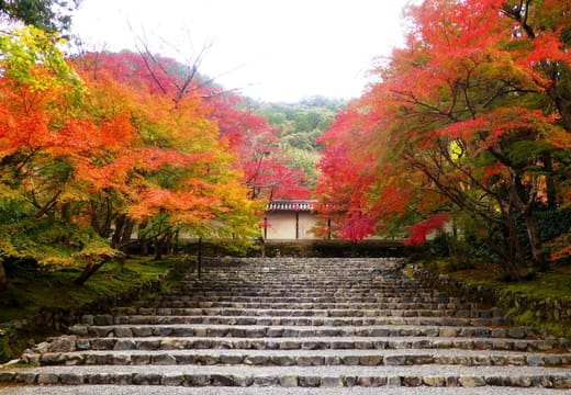
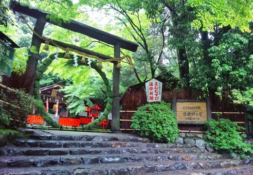
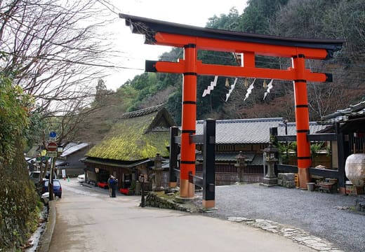
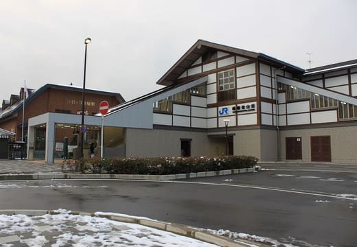
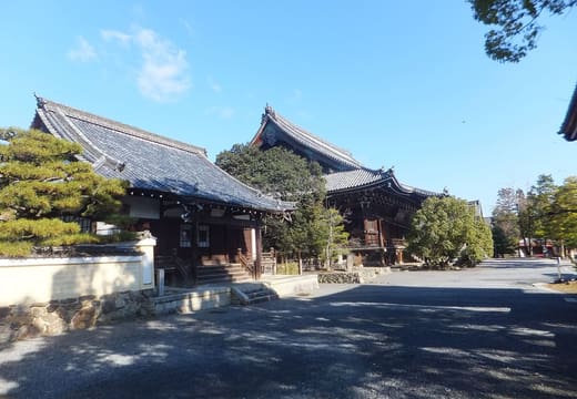
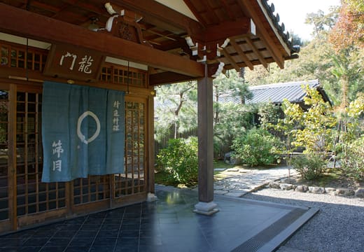
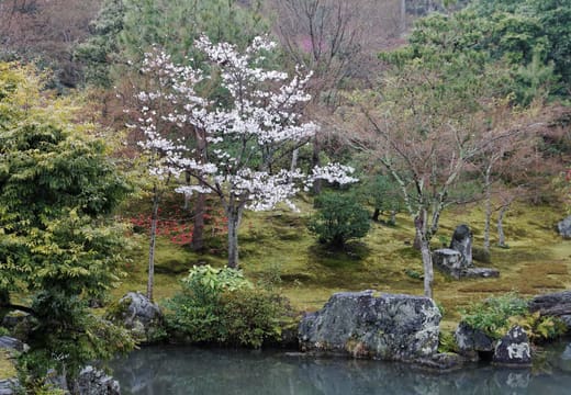
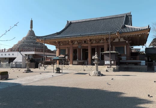
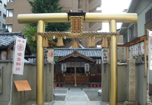
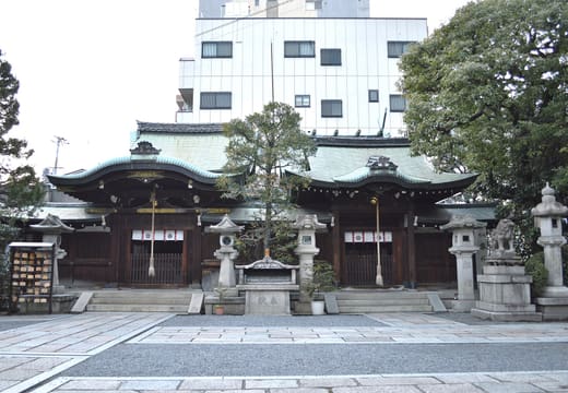
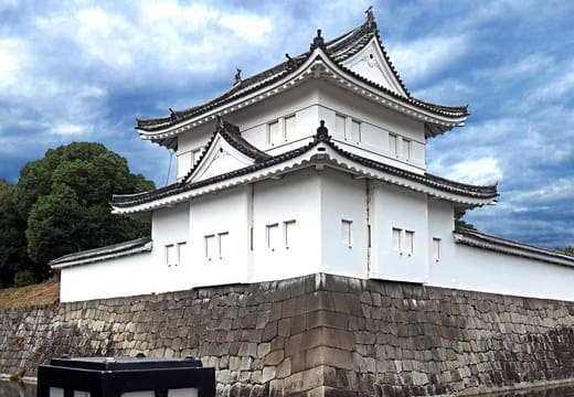
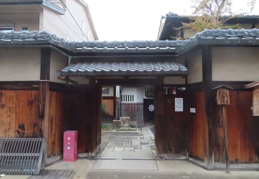

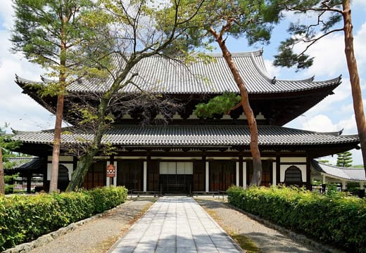
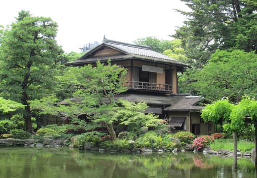
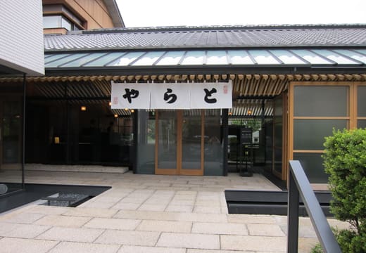
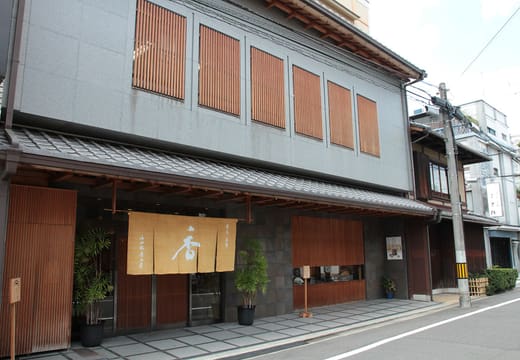
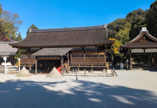
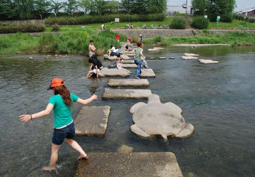
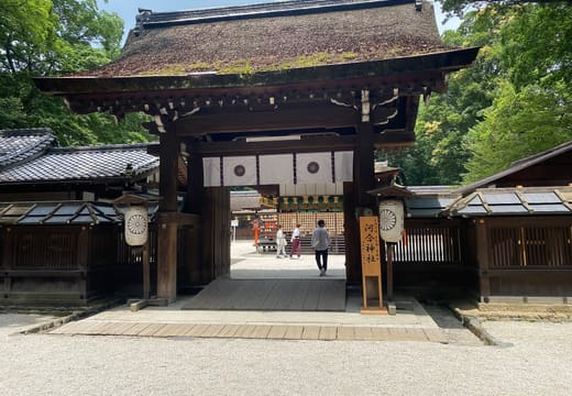
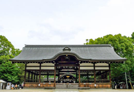
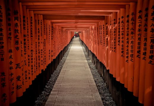
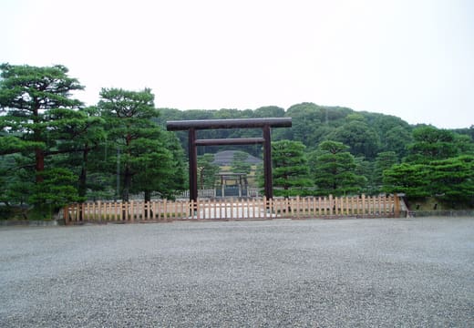
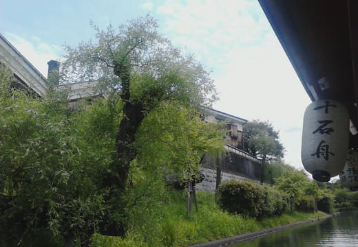
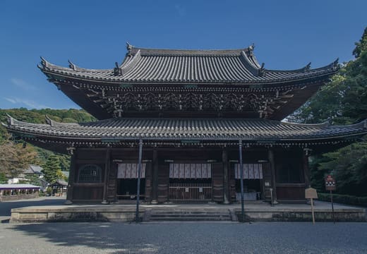
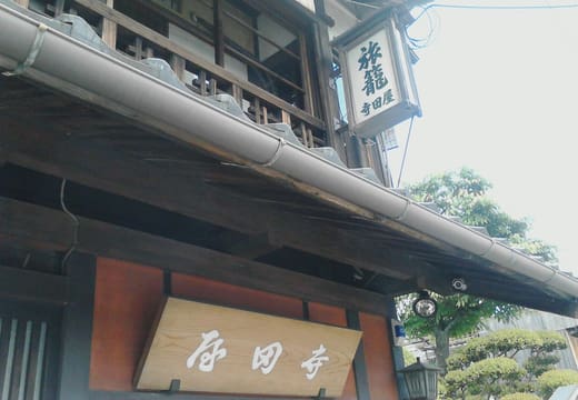
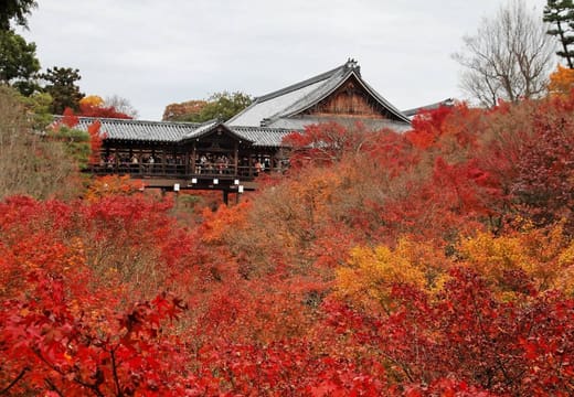
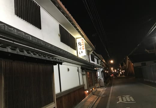
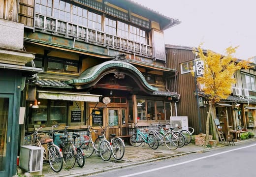
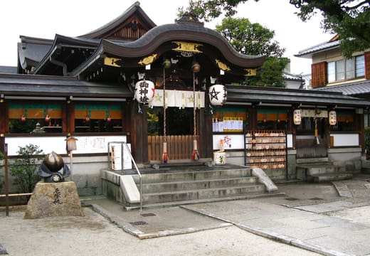
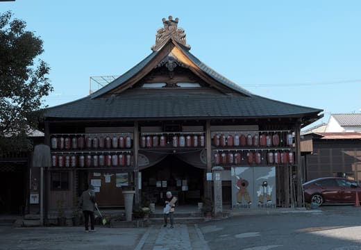
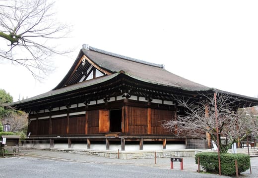
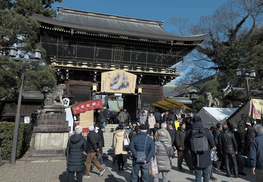
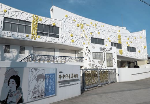
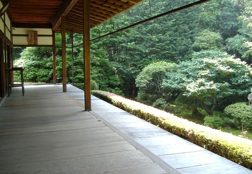
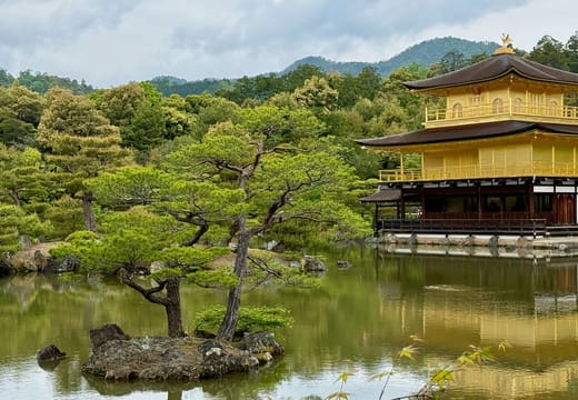
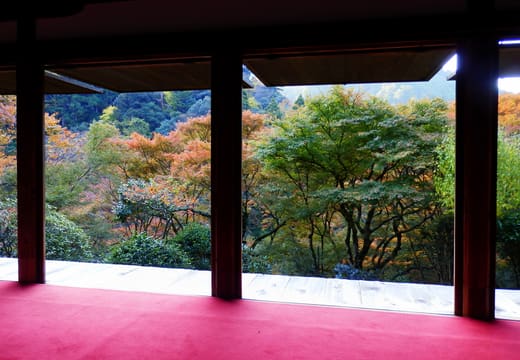
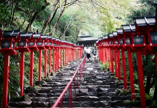
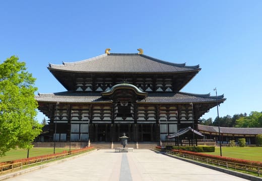
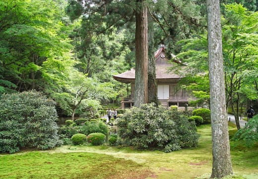
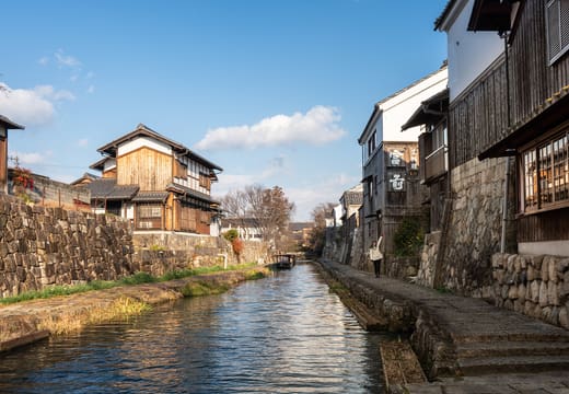
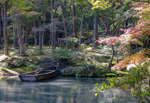
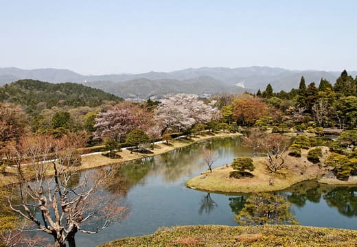
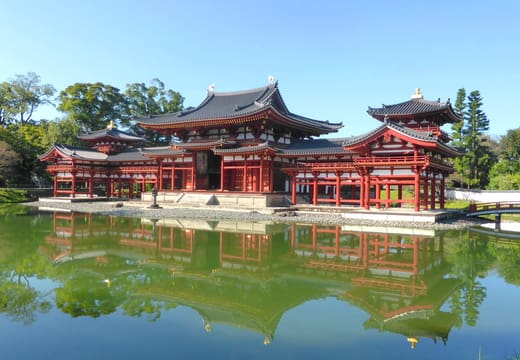
Nothing matches
Try a different search or clear the filters.
About this Kyoto travel map
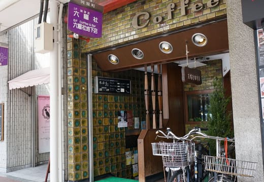
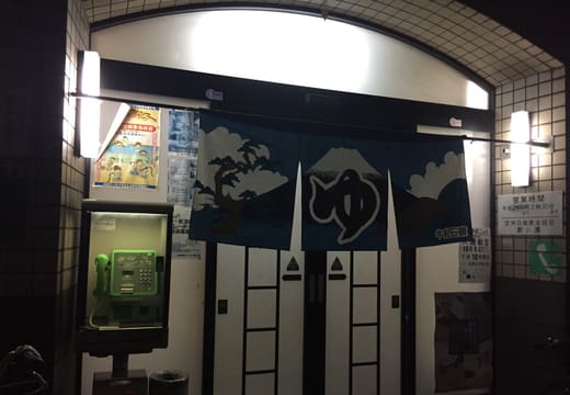
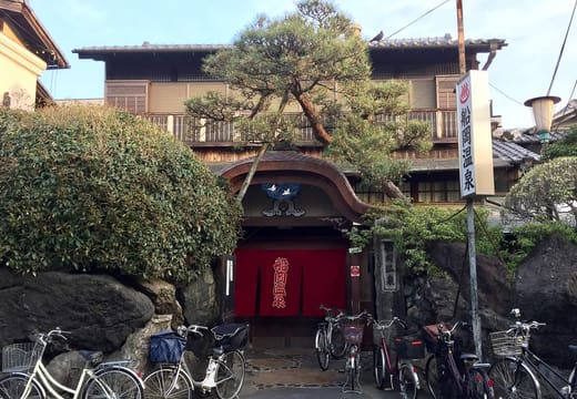
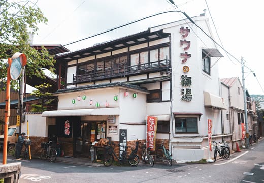
This is a free interactive map of Kyoto's sights and neighbourhoods, with 314 places. Fushimi Inari Taisha, Kiyomizu-dera, the Arashiyama bamboo grove and Nishiki Market are on it, and so are coffee houses that opened in the 1930s and a public bath from 1923. Filter by category or tag, search by name or neighbourhood, save favourites, and export them to Google Maps as a walking route. Every place links to a full page with the nearest station or bus stop, the cost and how long to allow.
Top Kyoto sights on the map
The best-known sights, area by area. Each name opens the place's own page, and the map shows everything else around it.
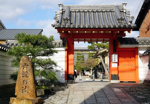
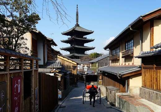
Higashiyama and Kiyomizu-dera
- Kiyomizu-dera · Temple
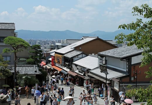
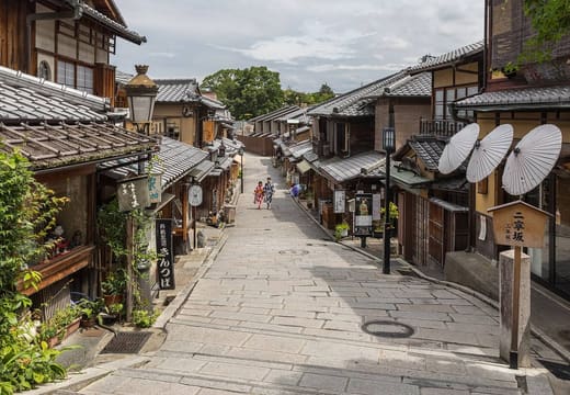
- Sannenzaka and Ninenzaka · Neighbourhood
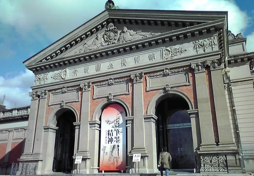
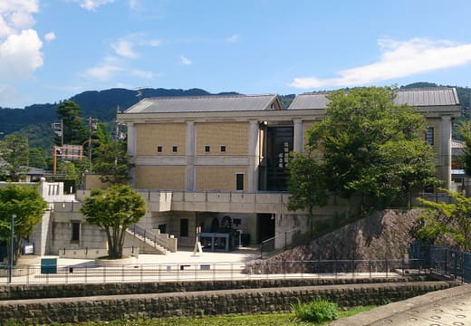
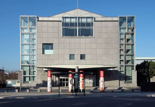
- Kyoto National Museum · Museum
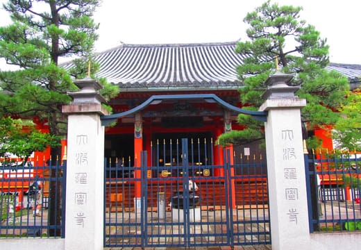
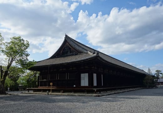
- Sanjusangendo · Temple
Gion
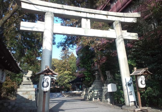
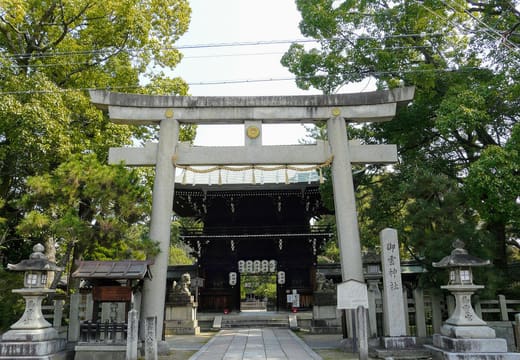
- Yasaka Shrine · Shrine
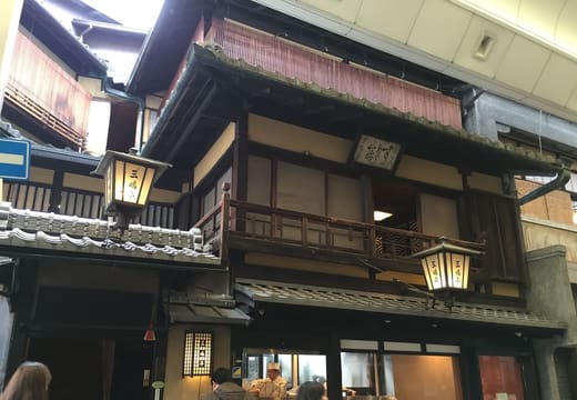
- Hanamikoji-dori · Neighbourhood
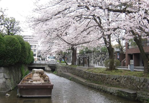
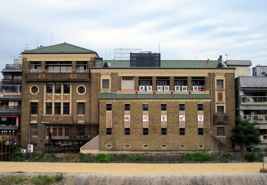
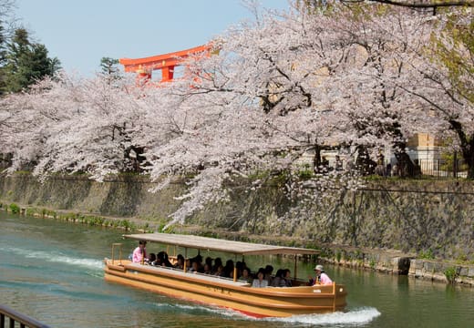
- Gion Shirakawa · Neighbourhood
- Kennin-ji · Temple
Kawaramachi and Pontocho
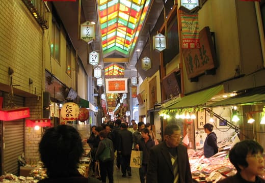
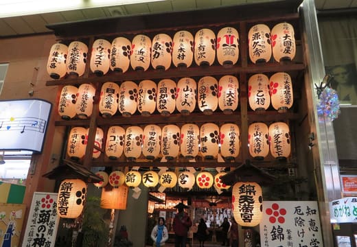
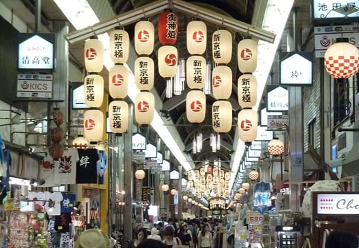
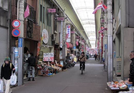
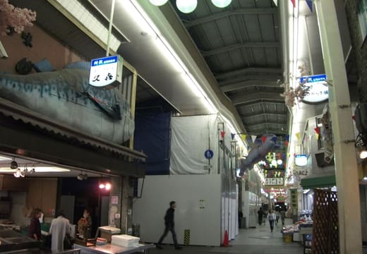
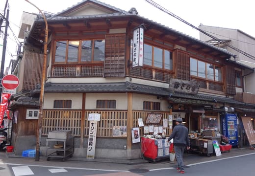
- Nishiki Market · Market
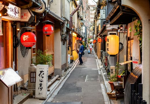
- Pontocho · Neighbourhood
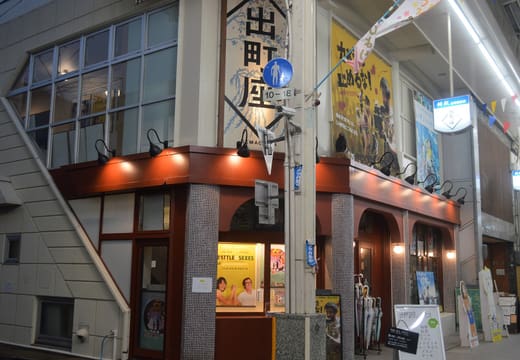
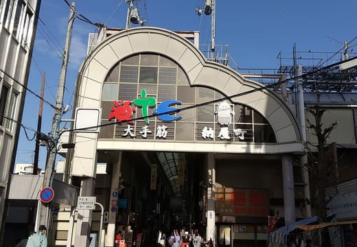
- Teramachi and Shinkyogoku Arcades · Shopping
- Kiyamachi-dori · Neighbourhood
Fushimi
- Fushimi Inari Taisha · Shrine
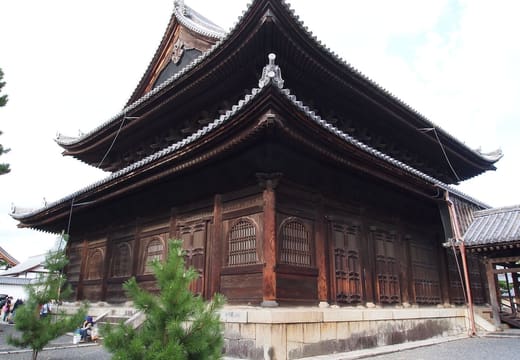
- Tofuku-ji · Temple
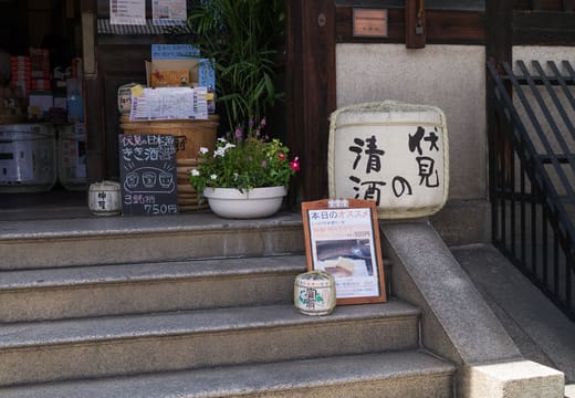
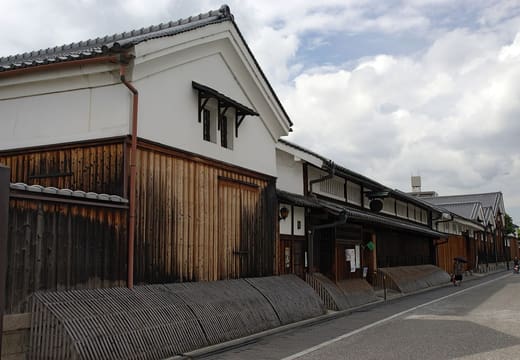
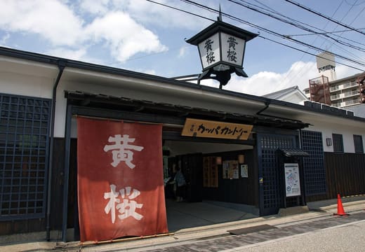
- Fushimi Sake District · Neighbourhood
- Gekkeikan Okura Sake Museum · Museum
Arashiyama and Sagano
- Arashiyama Bamboo Grove · Park
- Tenryu-ji · Temple
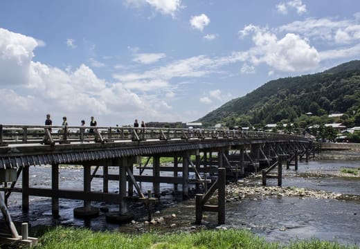
- Togetsukyo Bridge · Landmark
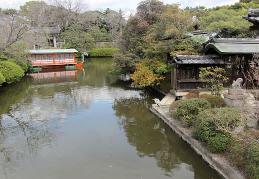
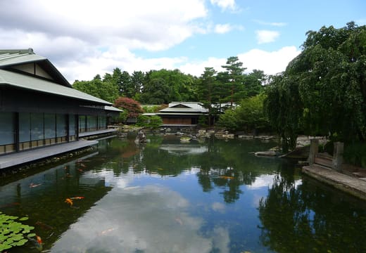
- Okochi Sanso · Park
Kinkaku-ji and Kitano
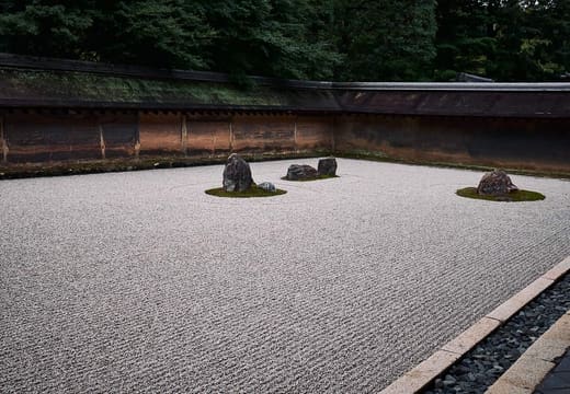
- Ryoan-ji · Temple
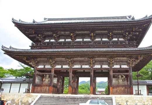
- Ninna-ji · Temple
- Kitano Tenmangu · Shrine
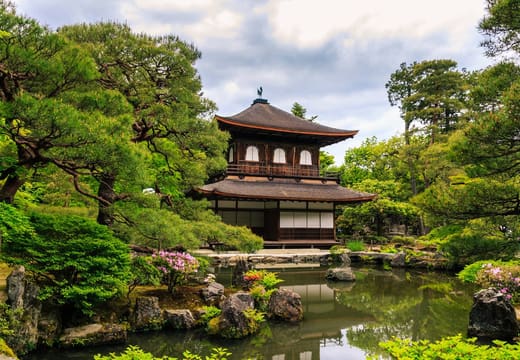
- Kinkaku-ji · Temple
Ginkaku-ji, the Philosopher's Path and Okazaki
- Philosopher's Path · Neighbourhood
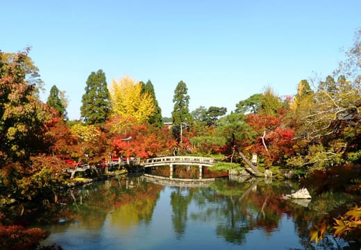
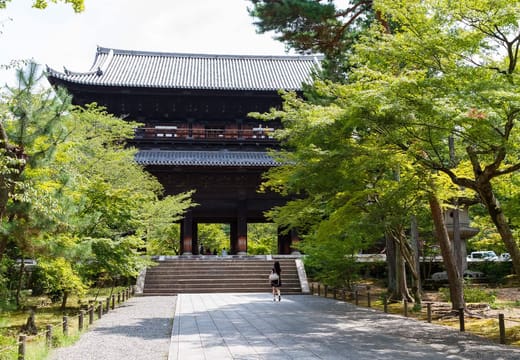
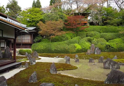
- Nanzen-ji · Temple
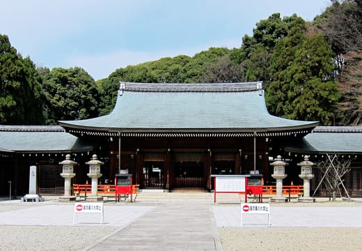
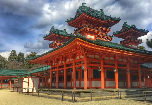
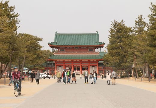
- Heian Shrine · Shrine
- Ginkaku-ji · Temple
Nijo Castle and the Imperial Palace
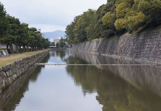
- Nijo Castle · Landmark
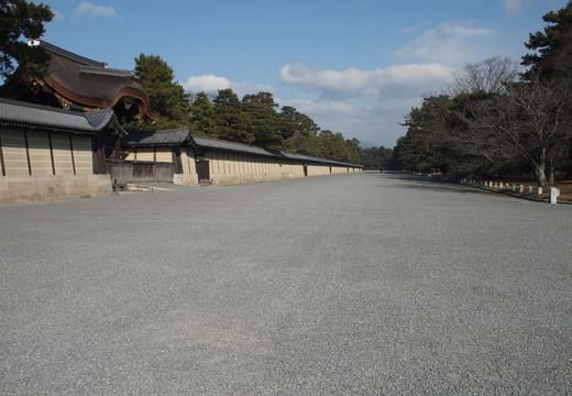
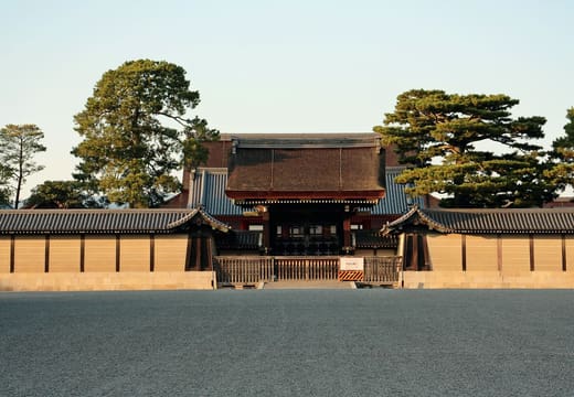
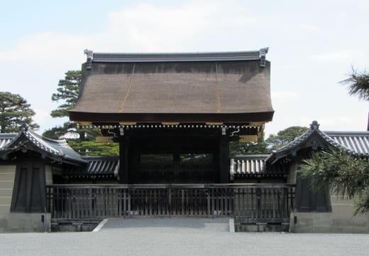
- Kyoto Imperial Palace · Landmark
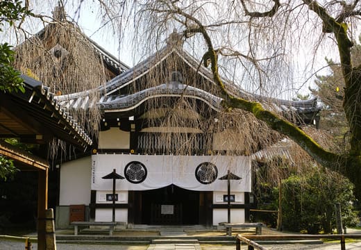
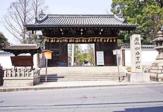
- Shimogamo Shrine · Shrine
- Shinsen-en · Temple
Kyoto Station
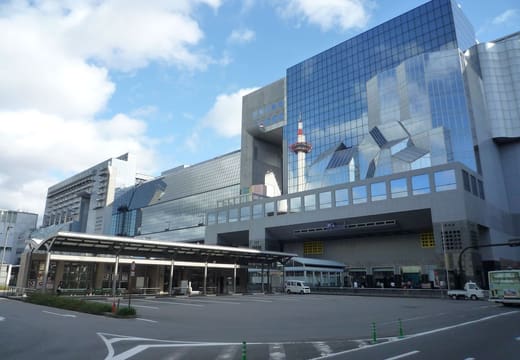
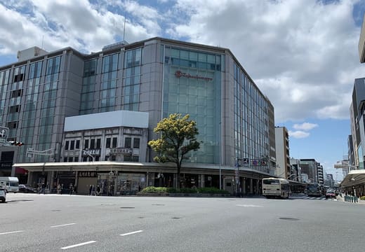
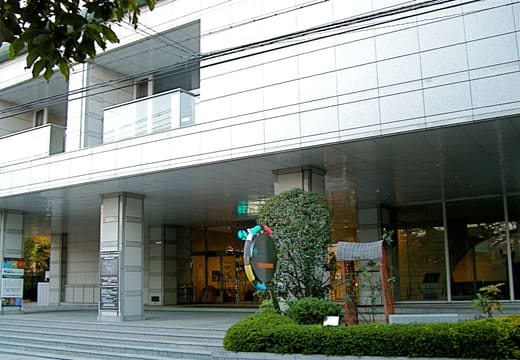
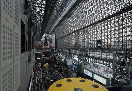
- Kyoto Station Building · Landmark
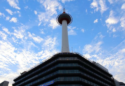
- Kyoto Tower · Viewpoint
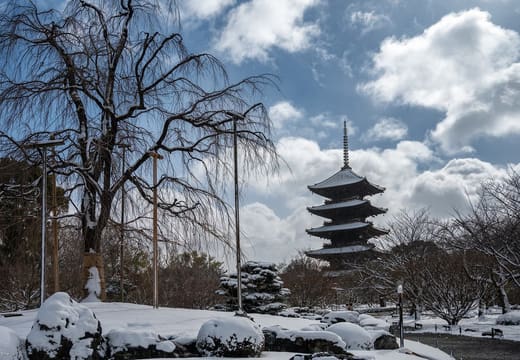
- To-ji · Temple
- Higashi Hongan-ji · Temple
Plan an itinerary with the map
Tap the heart on any place to save it. Open Saved and press Plan my days, and your saved places and events are sorted into days by area, with walking or train times between stops. Open saved places in Google Maps turns up to ten of them into walking directions. Set your trip dates and the Events view shows what's on while you're here. Saved places stay in your browser, and there's no account.
Is this Kyoto travel map free to use?
Yes. It's free, with no account or app download. Saved places and events stay in your browser, so your shortlist is waiting next time you open it.
Who makes this map?
Daniel, who lived in Kyoto for a while, near Shijo-Omiya station, and also makes Roam Tokyo. All 314 places are checked against their own official pages, and the collection is edited as places change.
What does each place on the map tell you?
Its nearest station or bus stop, the cost and how long to allow, with a tip for most of them, and the places nearby with walking times. Every place has its own page too.
Can I plan a Kyoto itinerary with the map?
Yes. Every place shows what's nearby with walking times, and you can export any shortlist of saved places to Google Maps as walking directions, up to ten stops at a time.
How do I get between places in Kyoto?
Each place names its nearest station or bus stop. Most are on the Keihan Main Line, the Tozai or Karasuma subway lines, a JR line or the Hankyu Kyoto Line. The rest are on the Keifuku or Kintetsu lines, or a bus route.
From the blog
Nearby
Listing in Japanese. Titles are shown as the venue prints them.
You're offline, showing saved and cached places
Tap Share (the square with an arrow), then Add to Home Screen. The map then opens like an app and works with a weak signal.